Welcome to GMAP
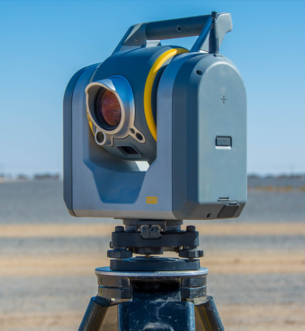
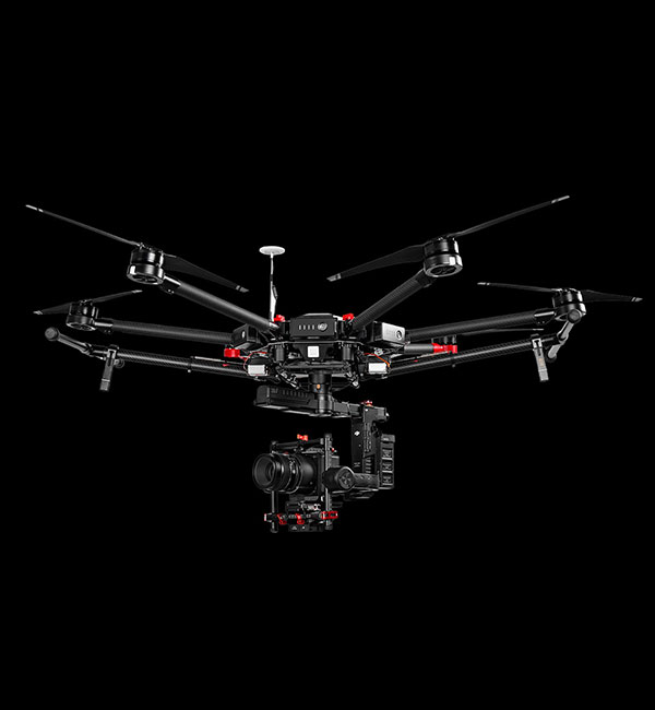
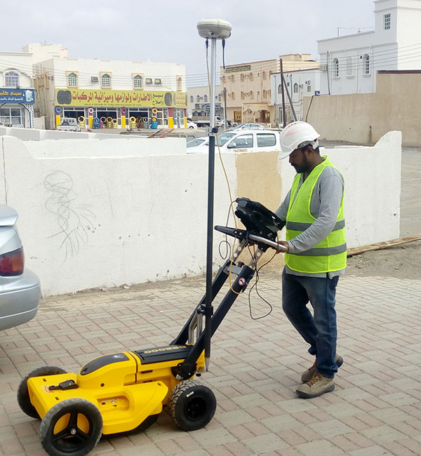
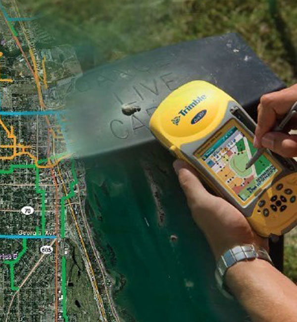
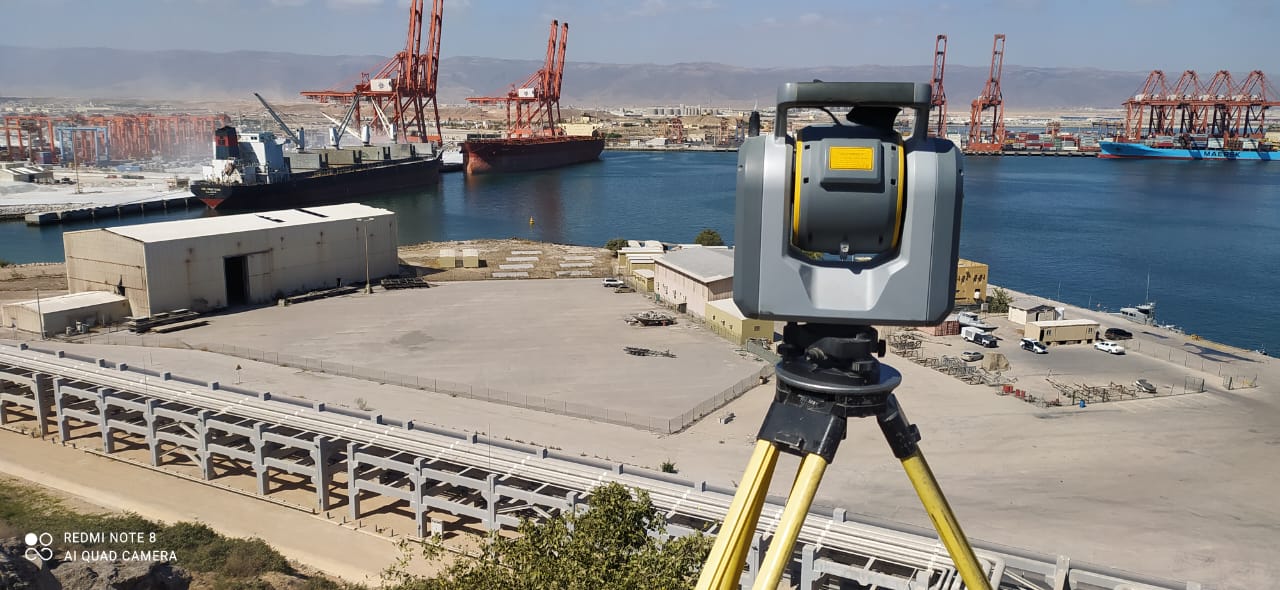
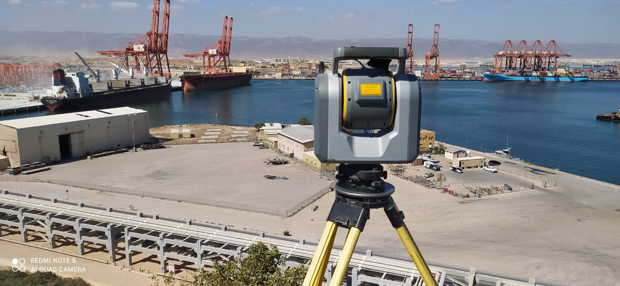
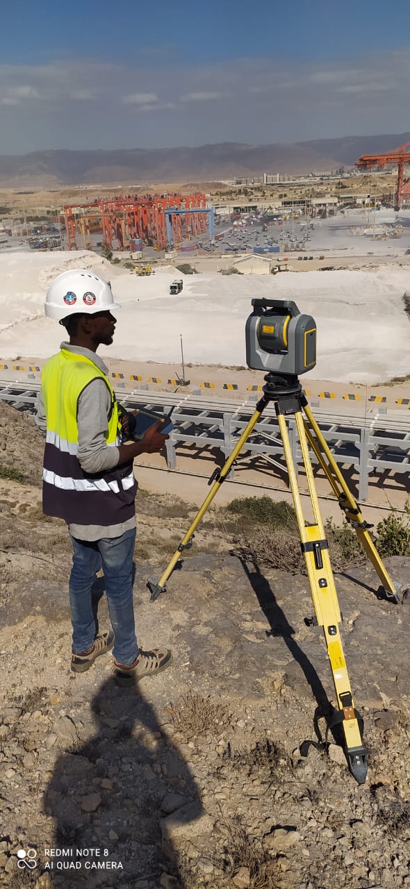
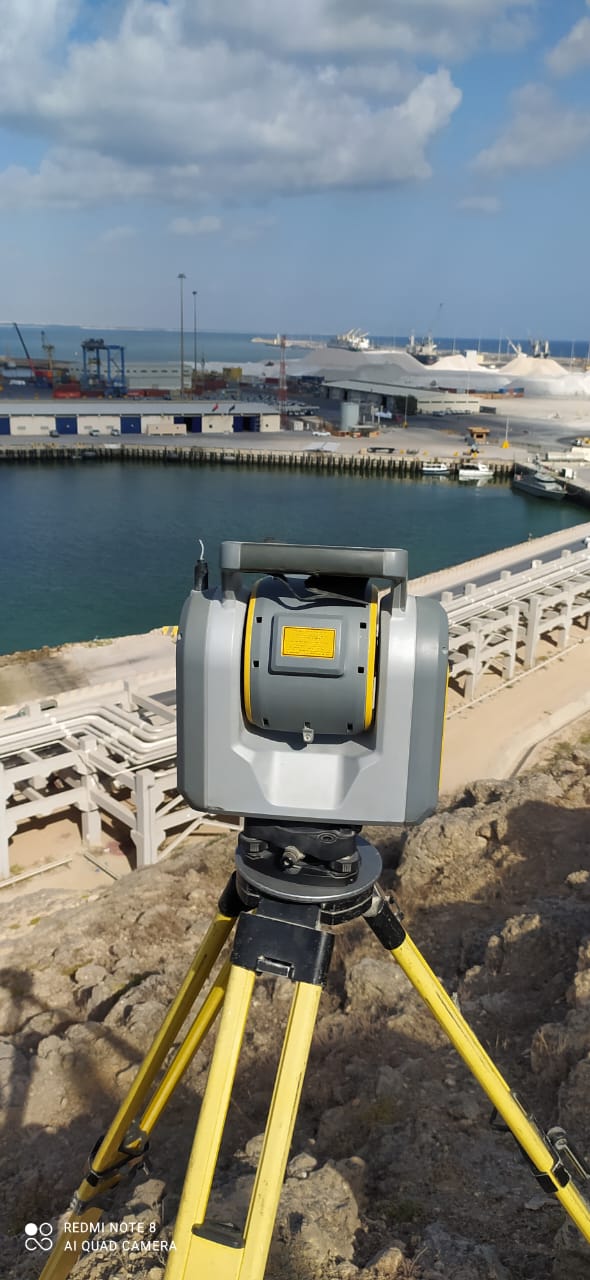
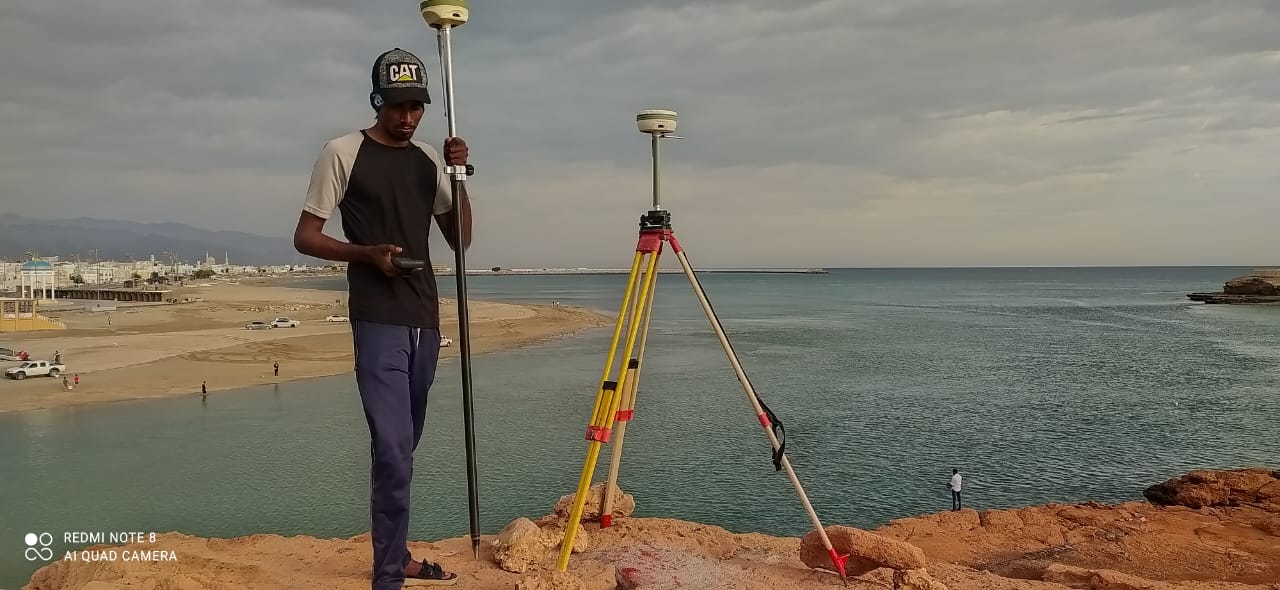
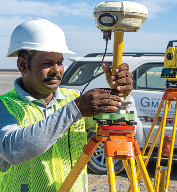
G Map is one of the leading Surveying company in Oman with well trained, experienced engineers / surveyors / technicians and with latest and highly sophisticated equipment such as 3D laser Scanners, Ground Penetrating Radars ( GPR ), Drones, DGPS and Pulse Total stations.
At GMAP, we offer a wide range of surveying services to cater to various industries and projects. Our services include:
Wimpey - Khasab
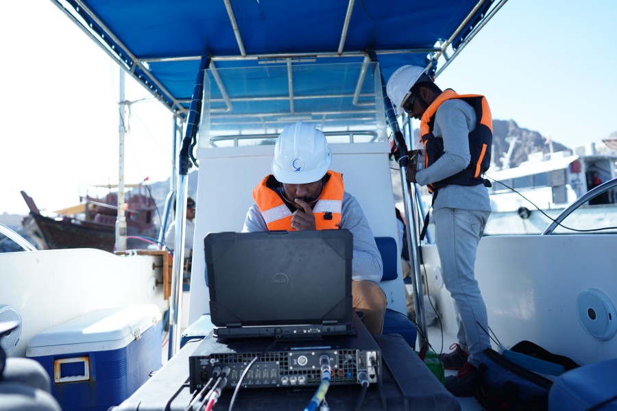
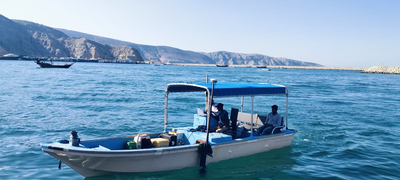
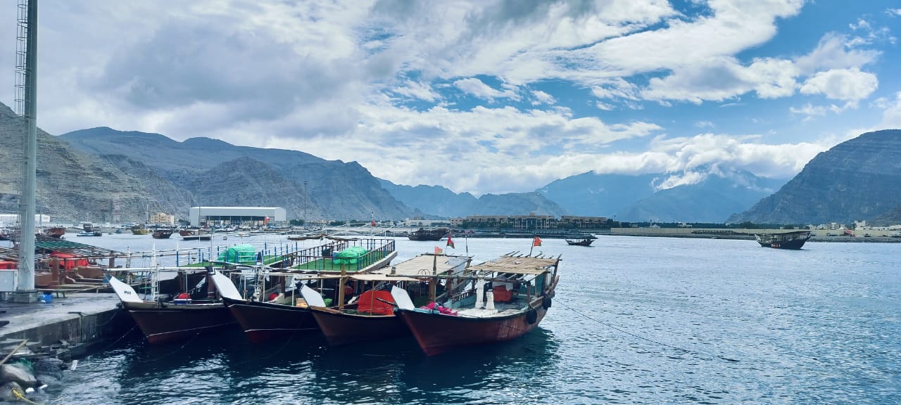
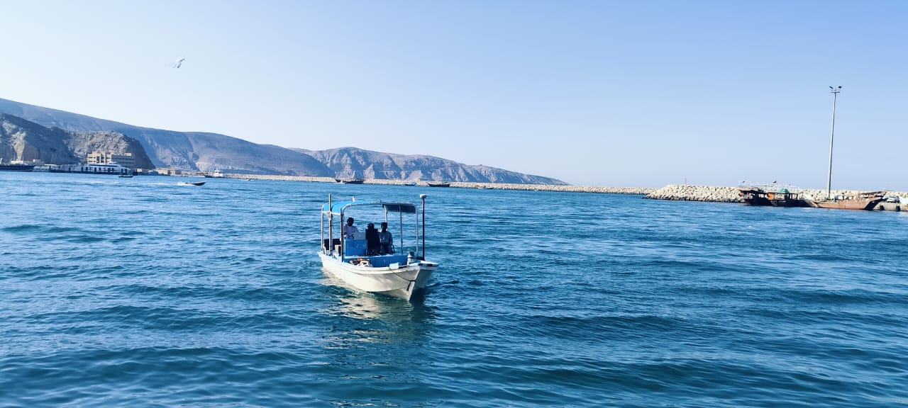
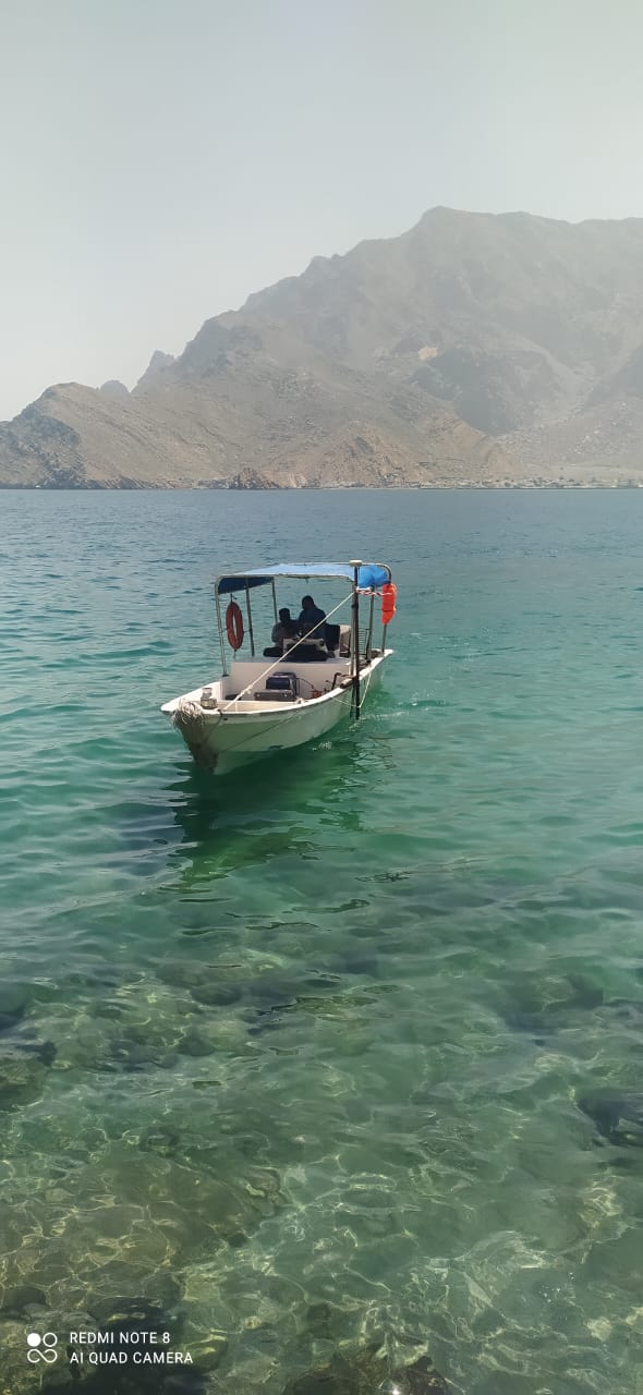
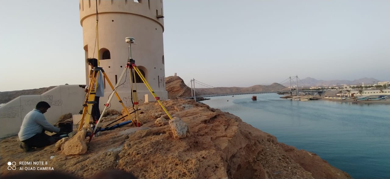
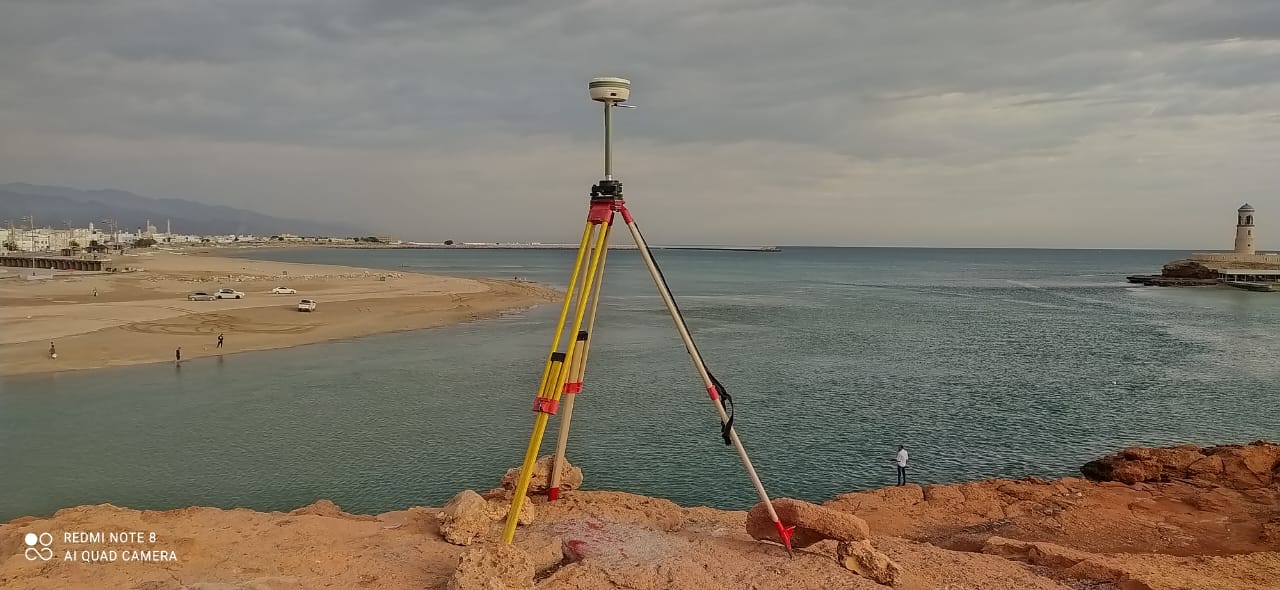
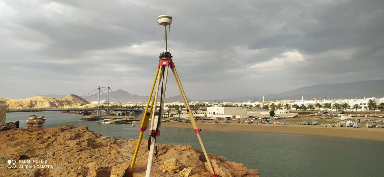
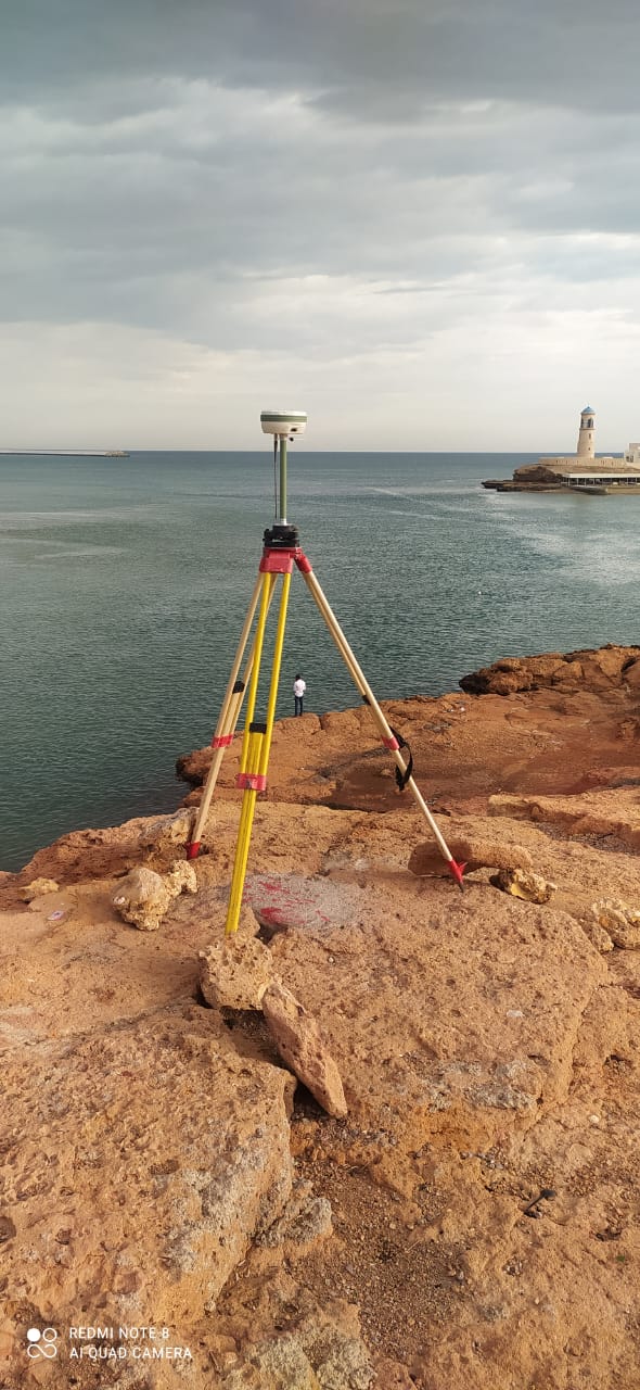
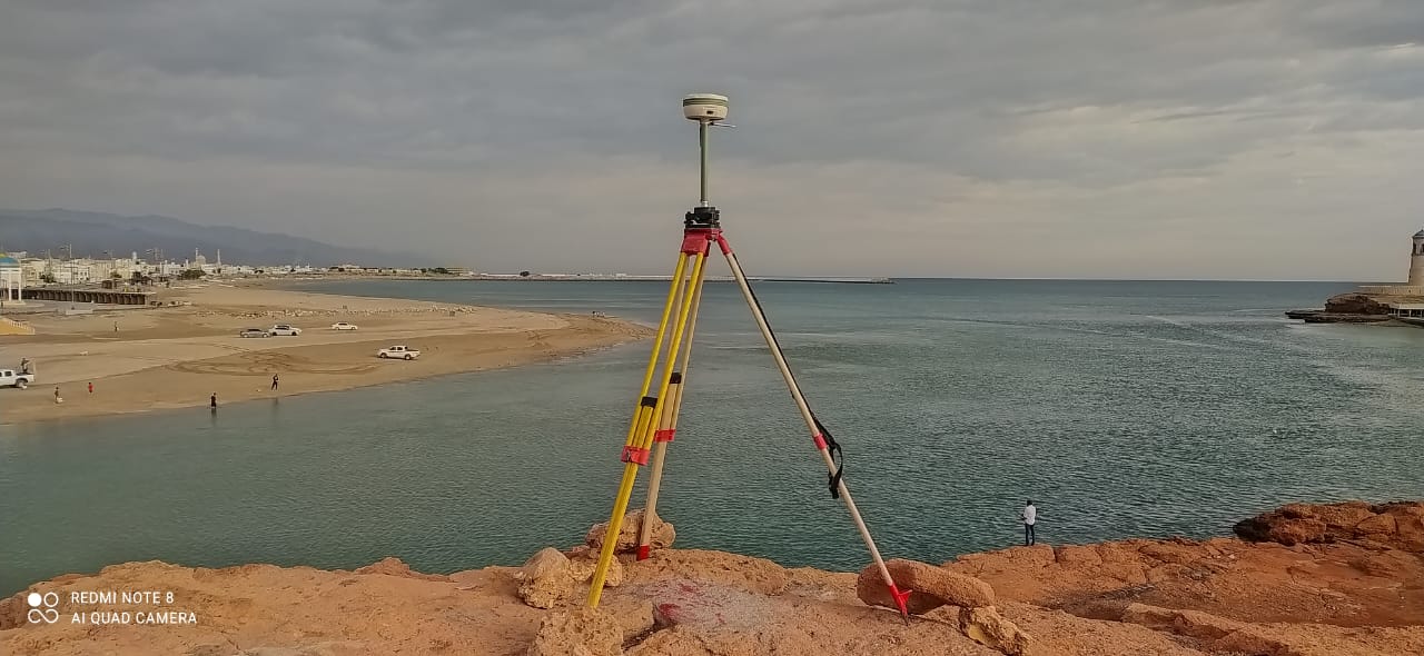
HYDROGRAPHIC SURVEY
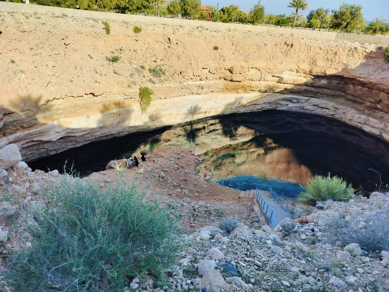
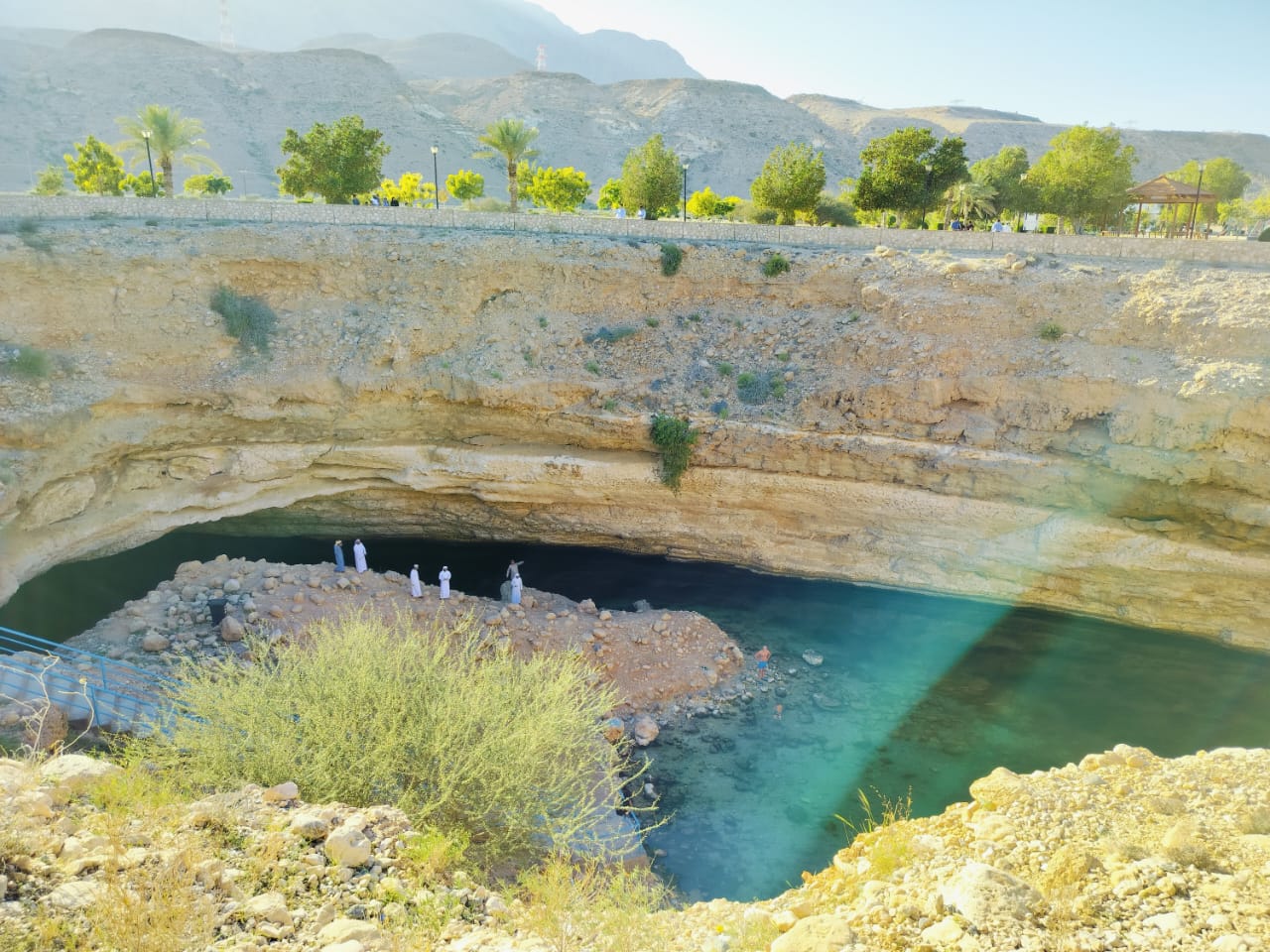
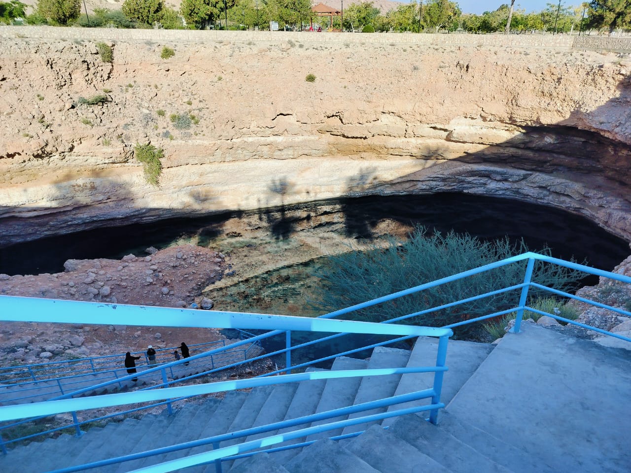
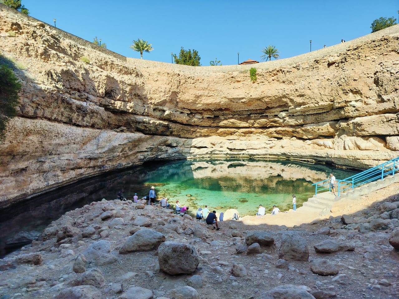
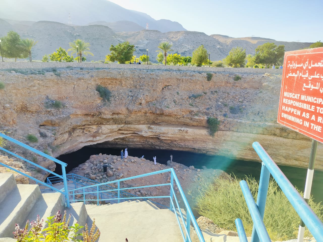
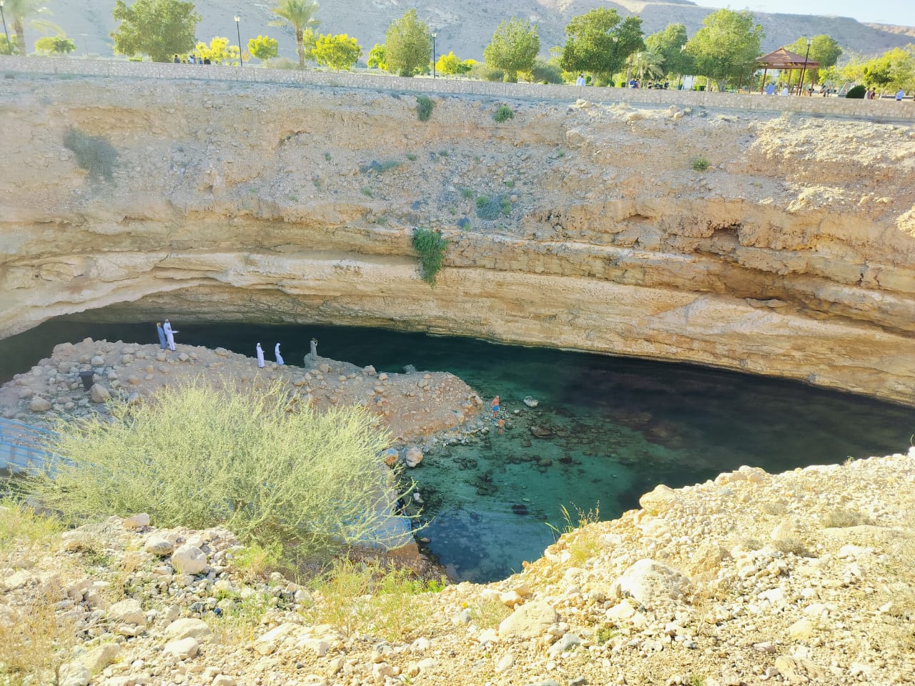
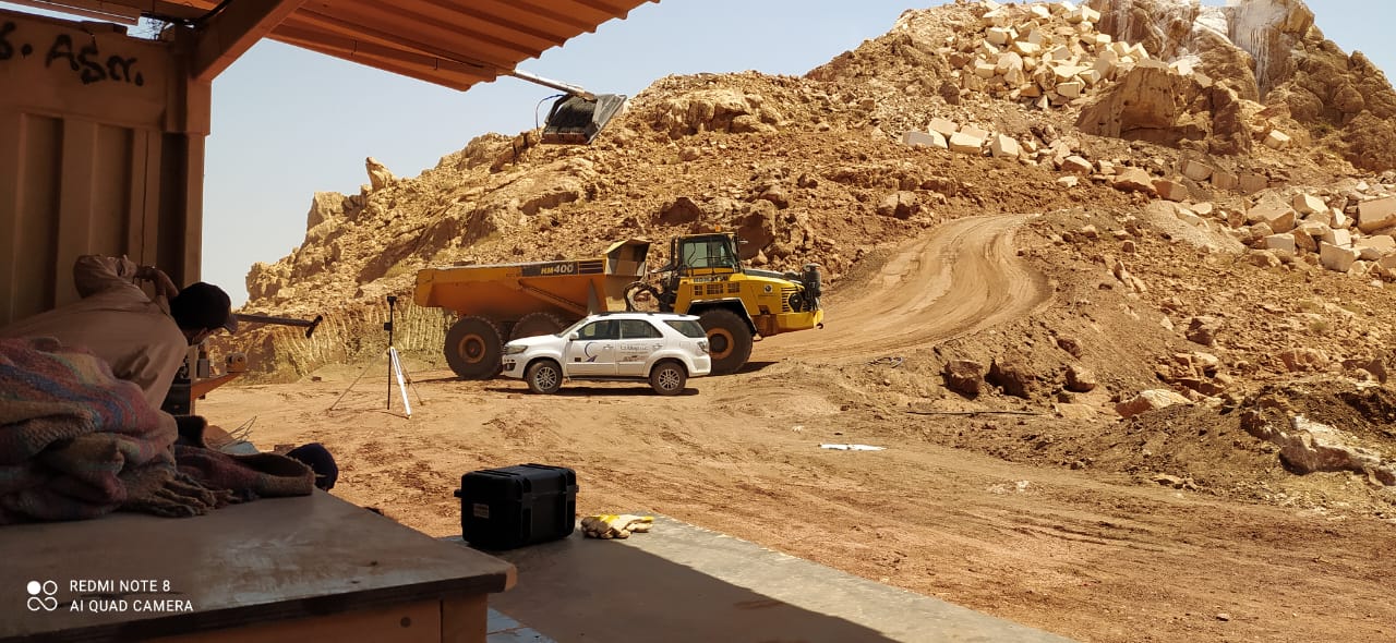
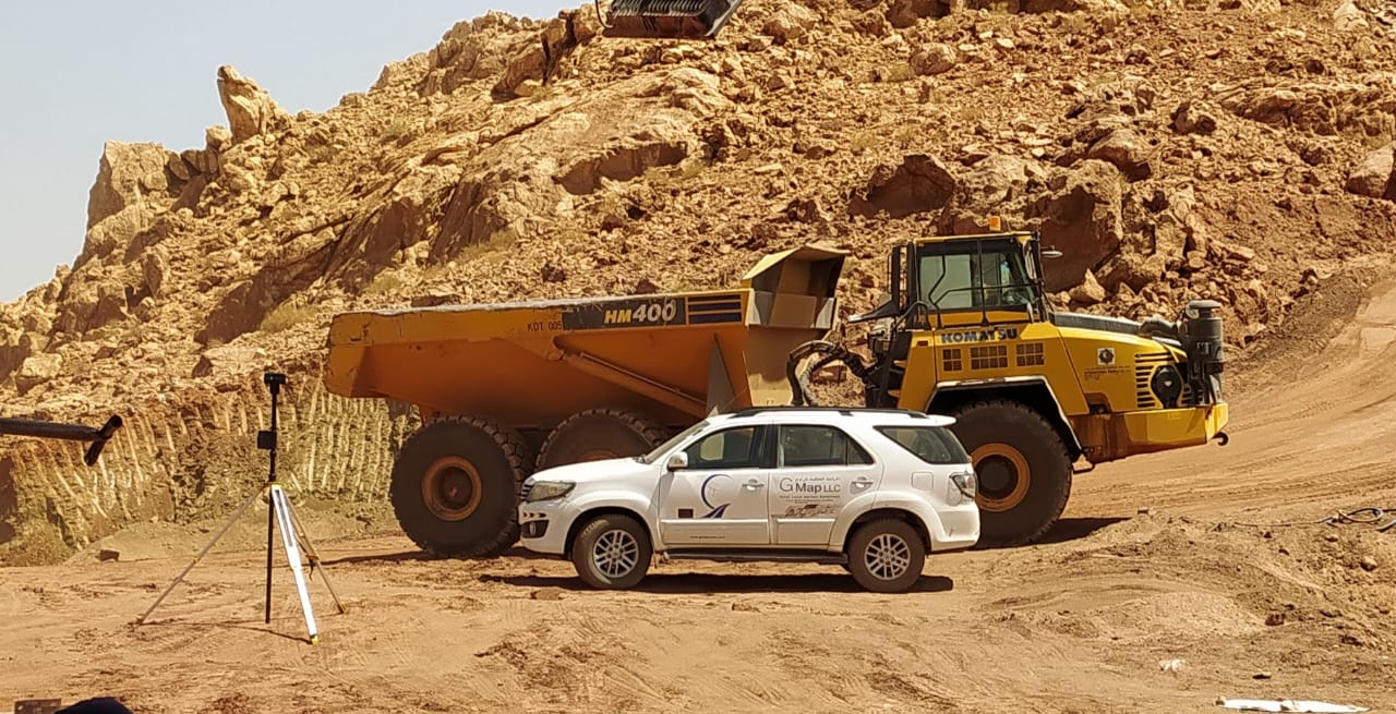
SUR ZINK HOLE - DESIGN UNIT
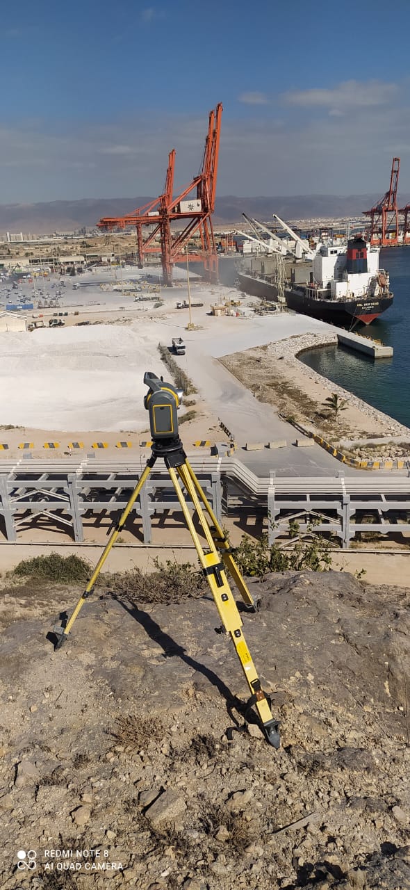
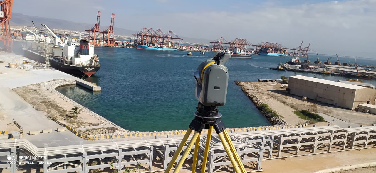
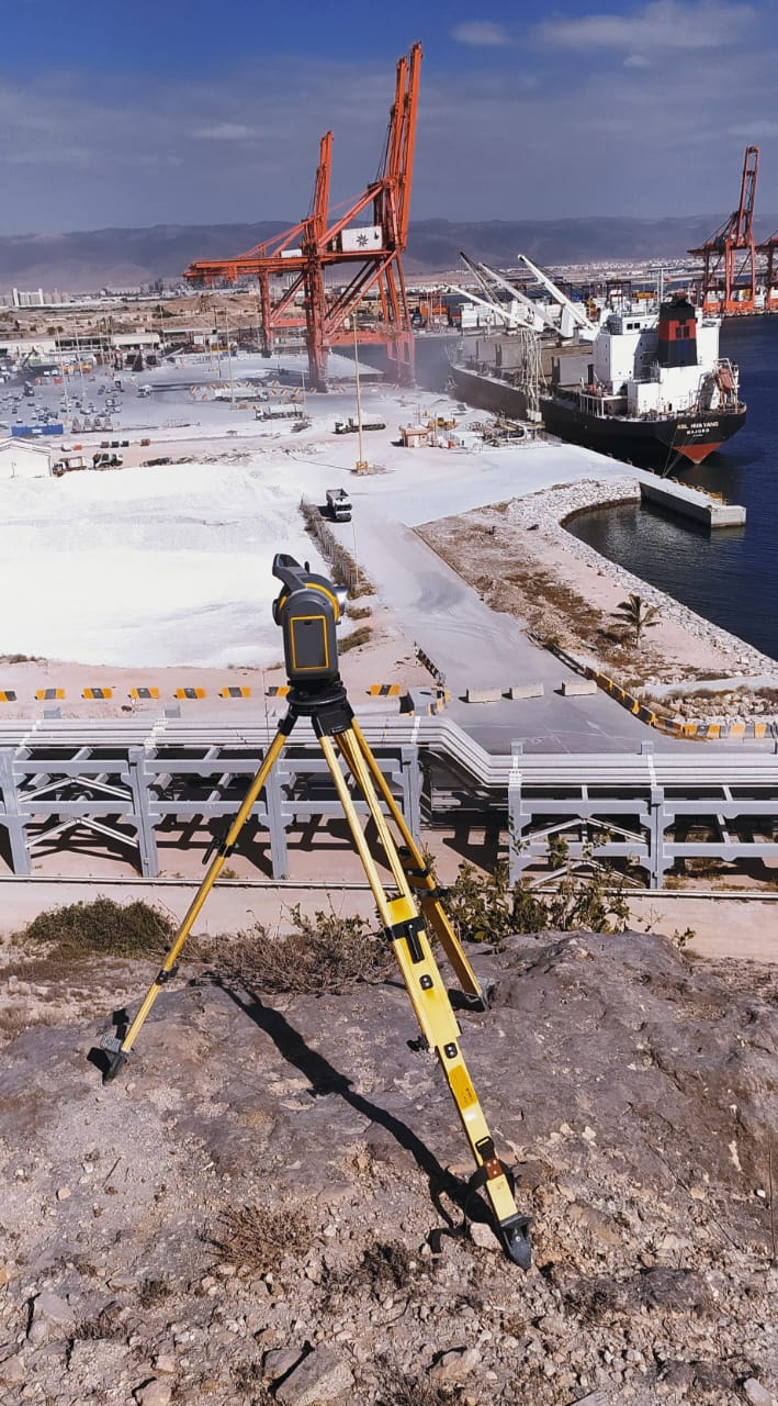
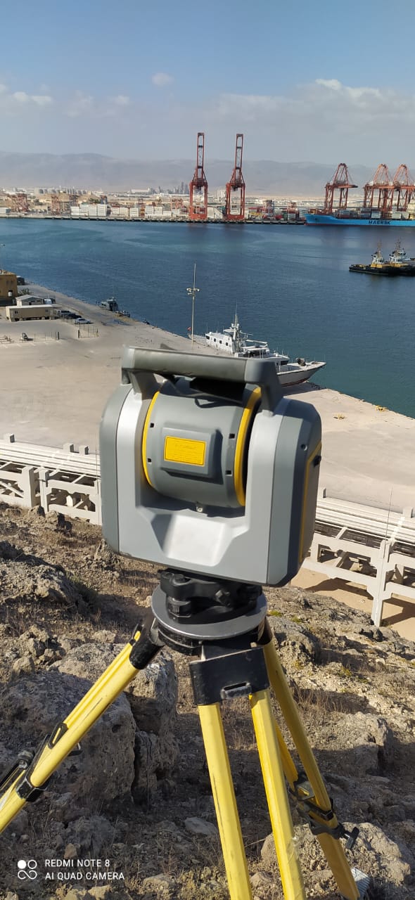
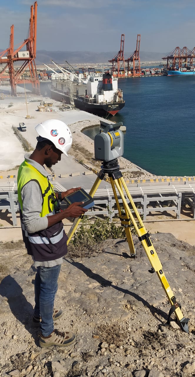
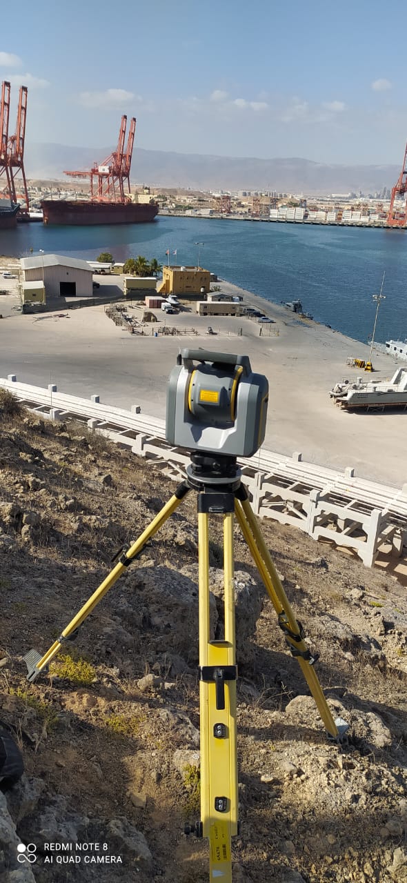
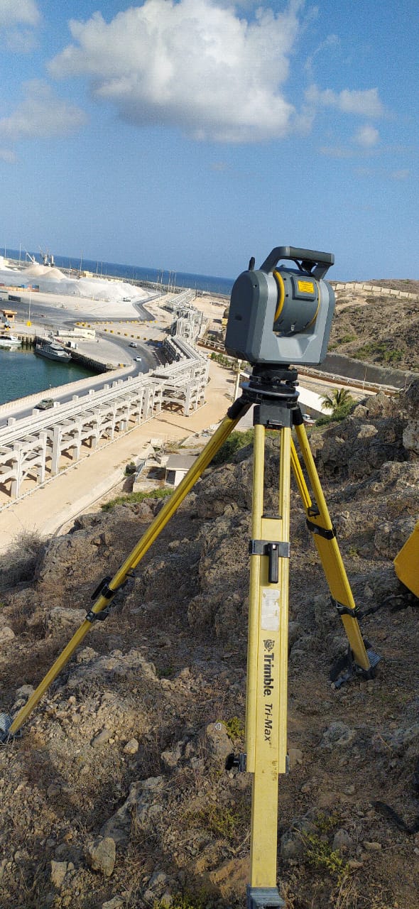
OQ -Salalah Scanning
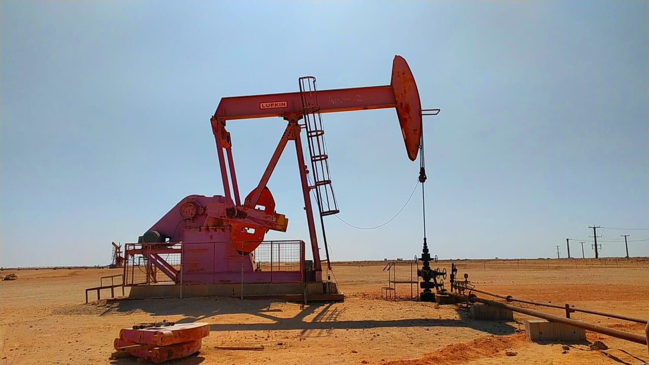
PETROGAS - Rima
Ibri
DRONE SURVEY
SUR - DAR
HYDROGRAPHIC AND SCANNING
Boost productivity through streamlined processes
Improve product appeal for target audience
Minimize expenses for financial solutions
Enhance client experience for loyalty
As a leading land survey company in Oman, we utilize the latest tools and techniques, including LiDAR scanner surveying and underground radar survey, to ensure thorough and comprehensive data collection. Trust GMAP's experienced team for all your surveying needs, including LiDAR drone survey and bathymetric survey services.
"Hats off to Gmap Survey Company! Their topography surveys played a pivotal role in our project's success. Professional, accurate, and efficient – they're our trusted partner for all surveying needs."
"Accurate information on the GPR Services. Working with gmap Has been a pleasure.Their commitment to accuracy and on time delivery reflect their professionalism and dedication to clients."
"Gmap Survey Company provides exceptional surveying services. Their team is highly professional, efficient, and dedicated to delivering accurate results. I was impressed by their attention to detail and their ability to meet deadlines. Their comprehensive reports were clear and easy to understand, making it simple to interpret the data. Expecially there gpr and drown I highly recommend for you.."
"Best company in Oman for Land Survey. Their unparalleled dedication shines in every project, ensuring top-quality results. They are equipped with the latest technology. Great support from Vidyadharan sir, Sibi and Kishore, Keep up the good work."
GMAP offers a comprehensive range of surveying services including land surveying, drone surveying, bathymetry surveying, construction surveying, and mining surveying.
GMAP employs highly trained professionals and utilizes cutting-edge technology and equipment such as 3D laser scanners, drones, and GPS systems to ensure the accuracy and reliability of surveying data.
GMAP serves a diverse range of industries including infrastructure development, oil & gas, environmental monitoring, urban planning, disaster management, and more.
To request a quote, simply fill out the contact form on our website or reach out to us via phone or email. Our team will promptly respond to your inquiry and provide you with a personalized quote based on your project requirements.
Yes, GMAP offers consultation services to assist clients in planning and executing their surveying projects effectively. Our experienced team can provide expert advice and guidance tailored to your specific needs and objectives.
Are you in need of professional land surveying services in Oman? Look no further than GMAP, our surveying company, where we specialize in a wide range of surveying techniques to meet your needs. From traditional land surveys to cutting-edge technologies like drone surveying and mapping, our team of expert surveyors is equipped to handle any project with precision and accuracy. Whether you require a GPR survey, aerial drone surveying, ground-penetrating survey, or bathymetric survey services, GMAP has the expertise to deliver results that exceed your expectations.
Phone